Route of the day
All points shown were part of the original itinerary. Not all were visited — decisions made along the way are a natural part of any expedition. We kept them on the map in case you wish to explore them yourself.
What we lived
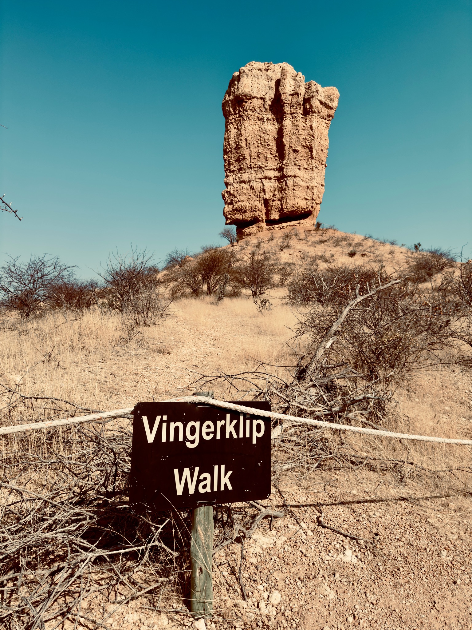
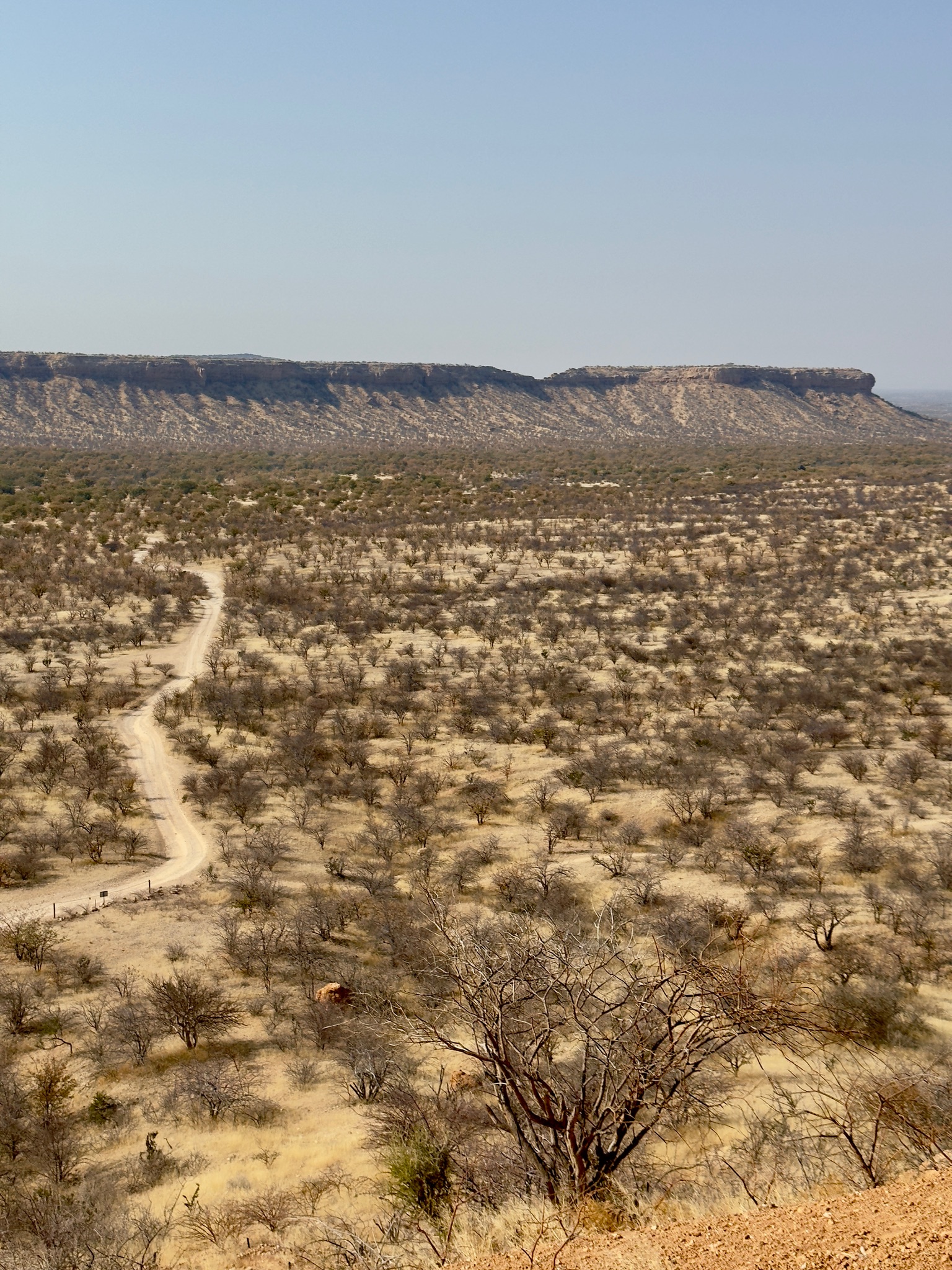
Breakfast at Huab Lodge, then on the road toward Etosha. Our first stop was Vingerklip — a single, enormous rock formation rising improbably from the flat desert floor, worth a brief stop and a photograph. From there, Outjo for fuel and a few supplies at the Spar, then the final stretch to the park gate, where we stopped just outside for lunch.
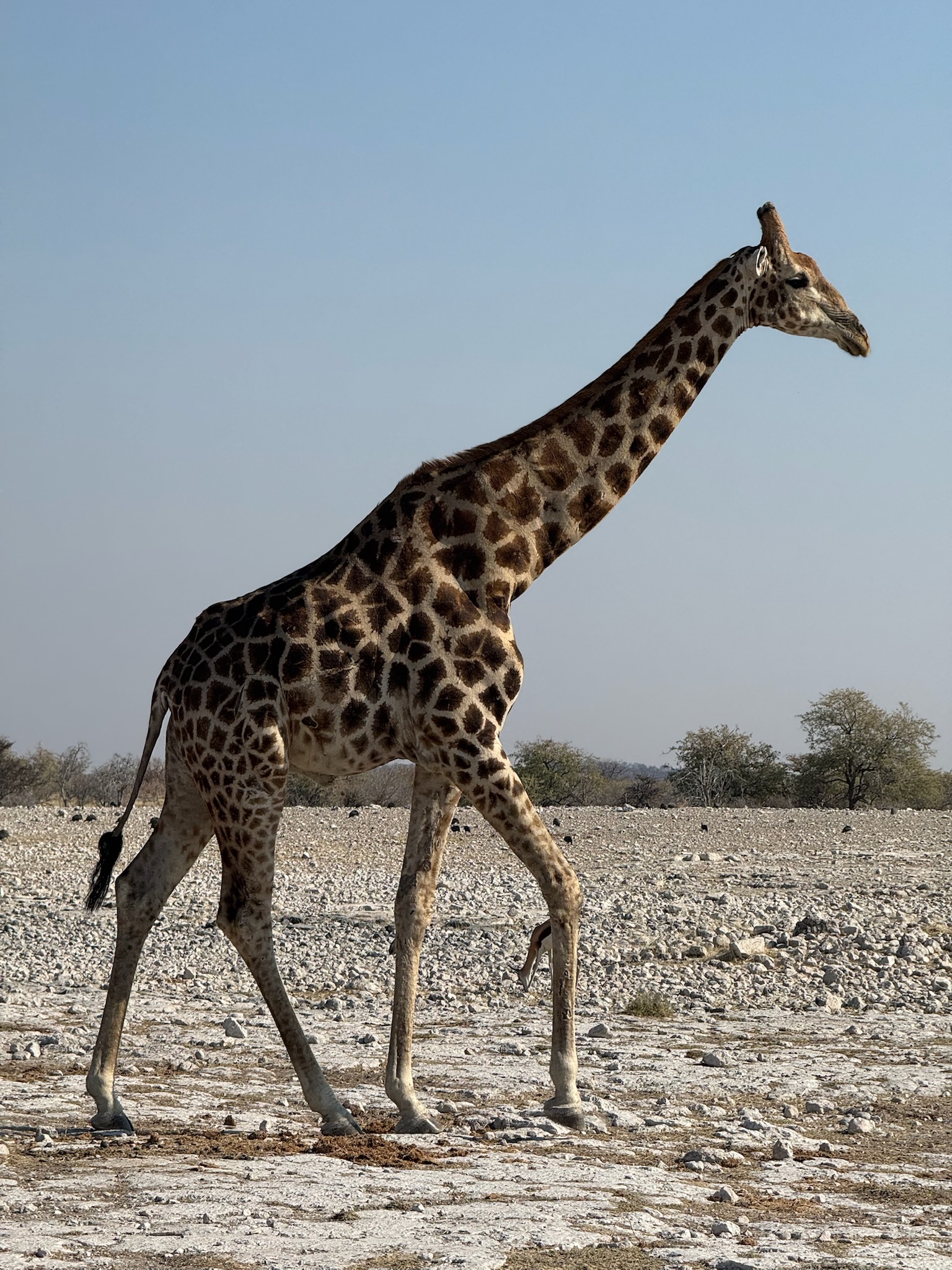
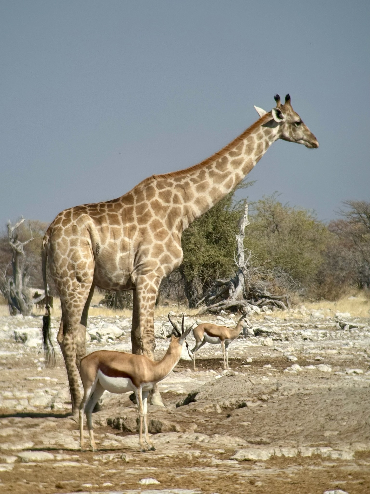
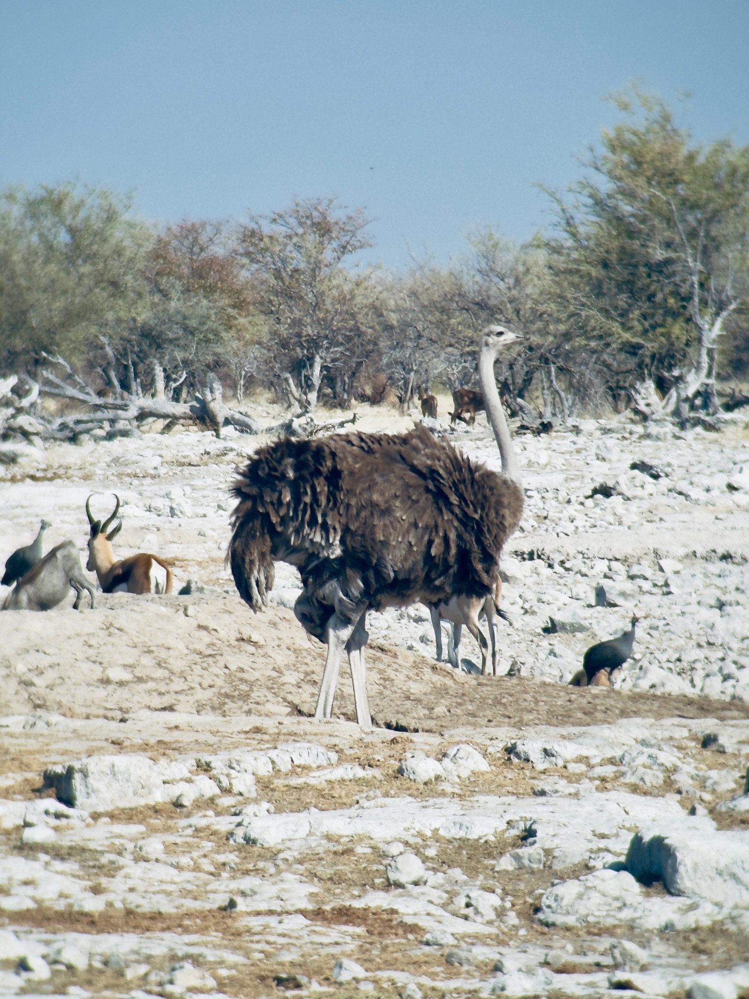
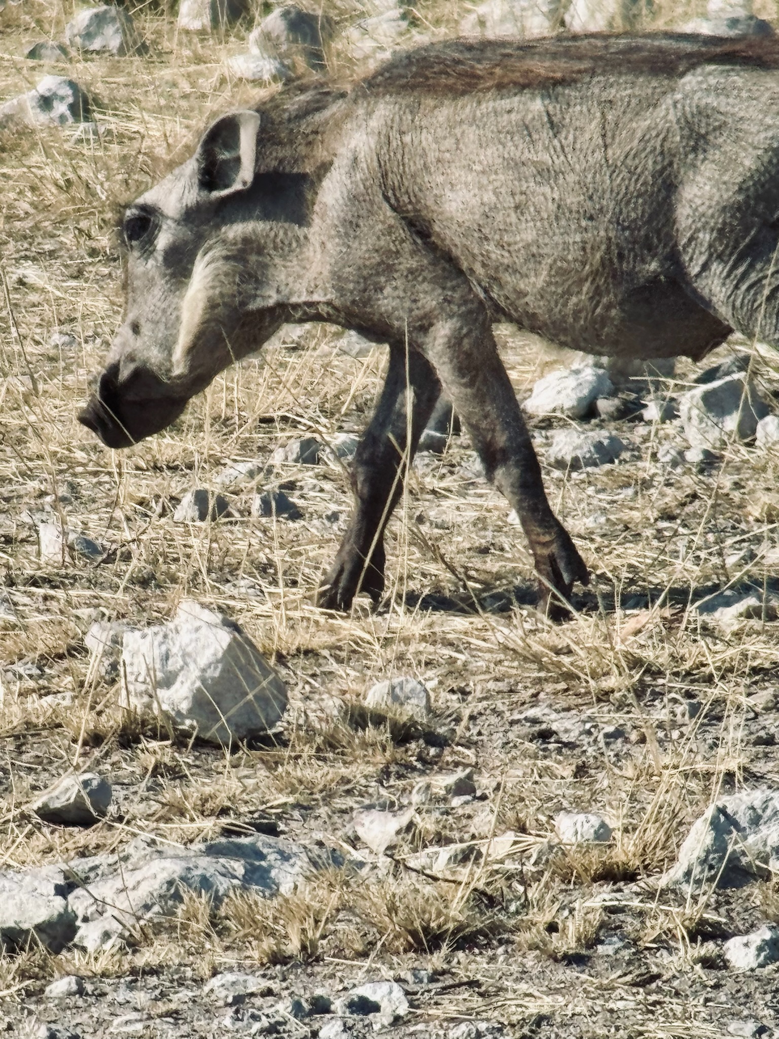
Etosha is another scale entirely. We entered through the Andersson Gate and made straight for the Ombika waterhole — a natural water source that draws animals from across the surrounding area throughout the day, sometimes dozens at a time from entirely different species. At Ombika we saw guinea fowl, warthogs, giraffes, impalas, and springboks. Jackals appeared further off, and wildebeest too. It was our first proper taste of what Etosha does, and it set the tone for the days ahead.
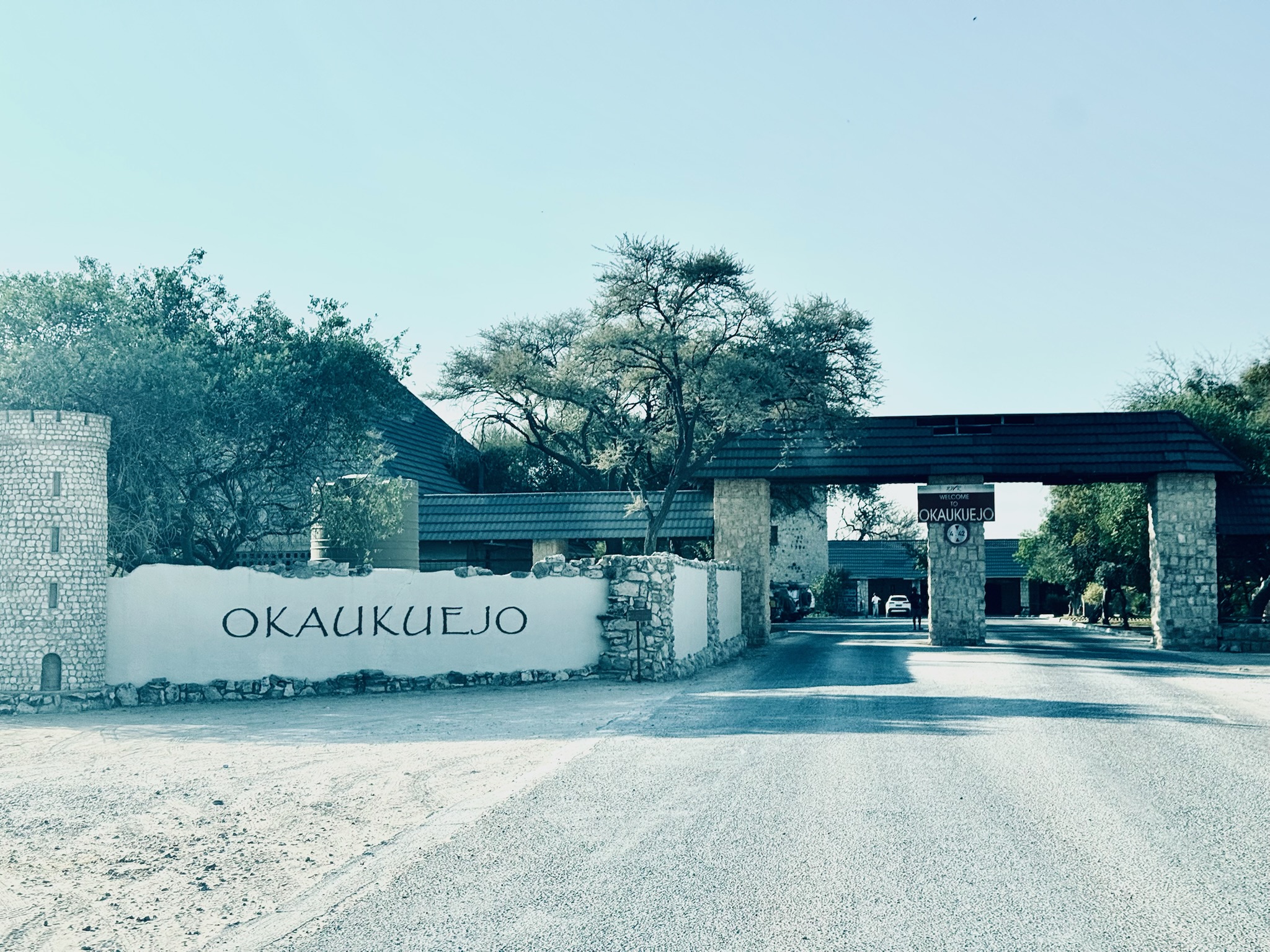
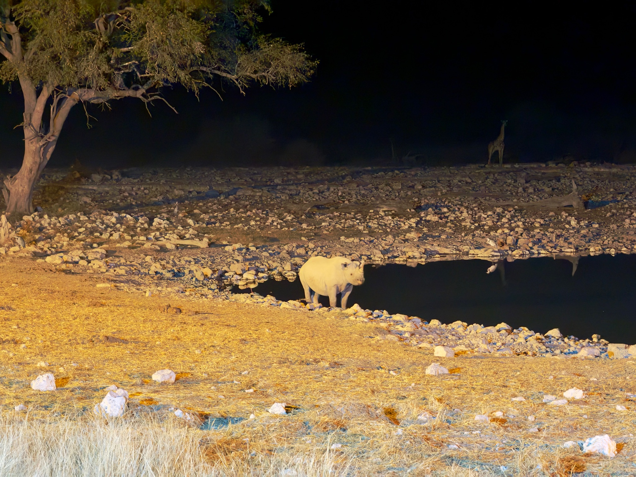
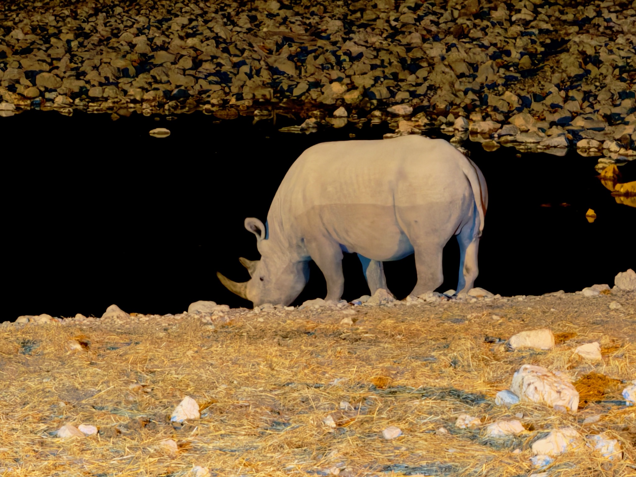
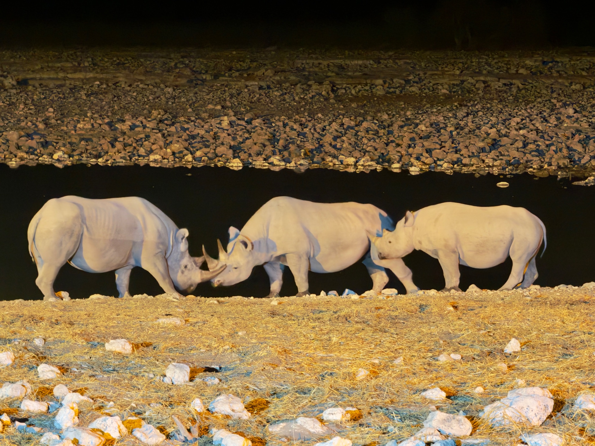
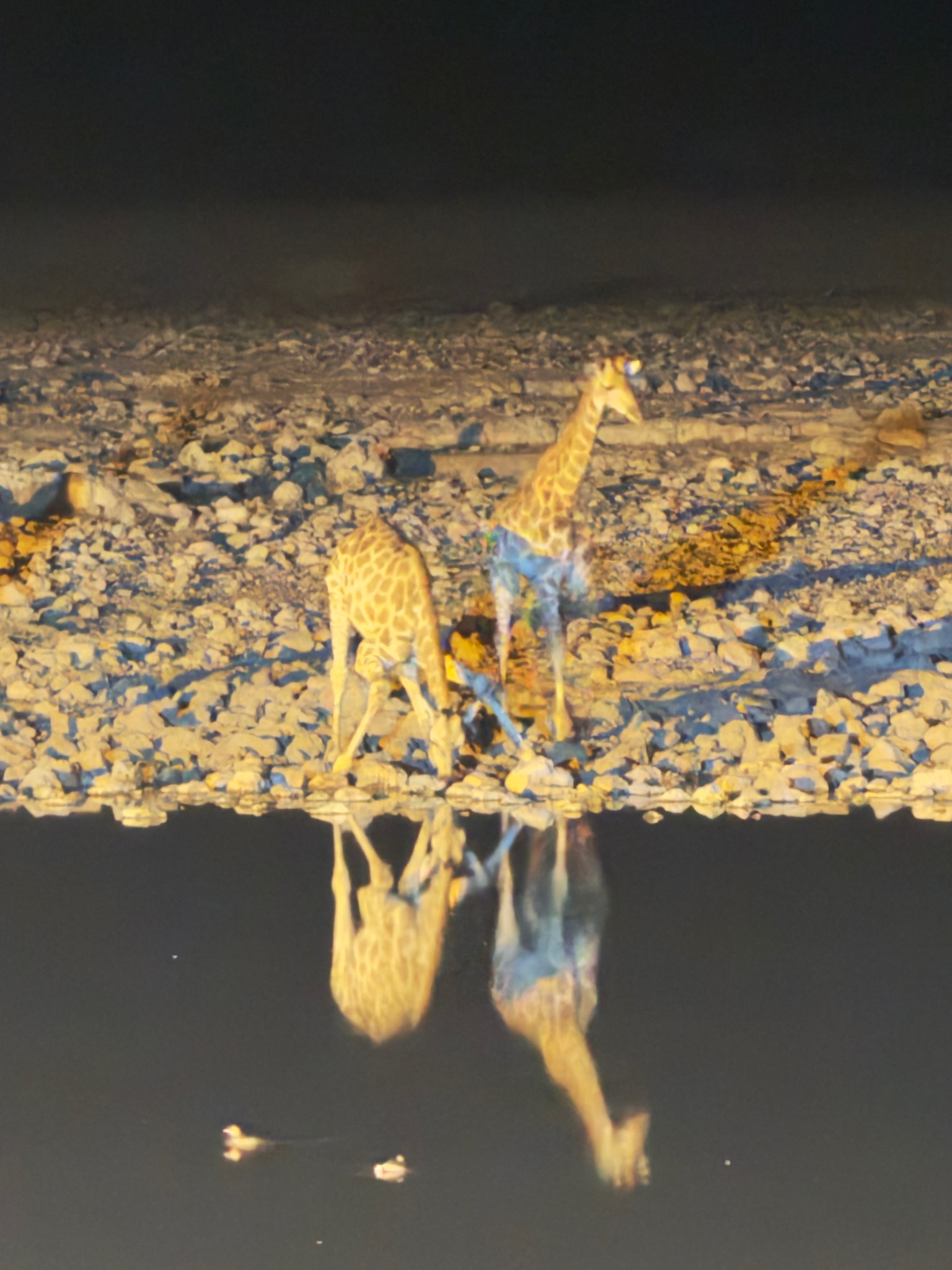
We arrived at Okaukuejo Camp in the late afternoon to find mongooses running freely through the grounds — a welcome party of sorts. After settling in and dinner, we walked the short distance to the floodlit waterhole right beside the camp. At night, Okaukuejo’s waterhole is something different: the floodlights illuminate the water and what comes to it. That evening, we saw giraffes, black rhinos, and hyenas.
Photo of the day
Video
Video
Gallery
Our tips
Only breakfast is included at Okaukuejo Camp — plan dinner in advance. The floodlit waterhole beside the camp is active well into the night; worth checking at different hours rather than just once after dinner.
Did you know?
The Etosha Pan — the vast salt flat at the heart of the park — was once a freshwater lake. When the Kunene River changed course millions of years ago, the lake dried up and left behind only salt. The pan now covers 4,760 square kilometres, almost a quarter of the entire national park, and is visible from space. The water that occasionally collects there has twice the salinity of seawater — the animals that come to the waterholes cannot drink from the pan itself. Etosha also holds the largest single population of black rhinos in the world. The name means “Great White Place” in Oshindonga.
Tomorrow we head to...
Morning safari in Etosha